
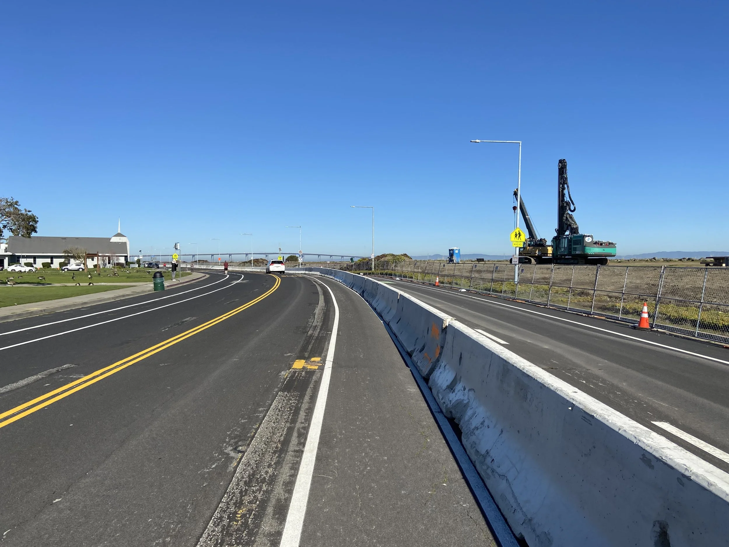
Foster City, June 2025. Visible along the city’s shoreline is the improved levee, which raised the existing city’s levee by an average of six feet
Insight: Levees and Levies in Foster City
Executive Summary
A 2014 FEMA study determined that Foster City’s levees were inadequate for rising sea levels, thereby designating the city a flood zone and mandating homeowners and businesses to carry flood insurance.
To reverse the flood zone designation and remove insurance requirements, the City funded, designed, and built levee improvements. Approved by voters in 2018, the project was completed in February 2024 at a cost of $93 Million, paid solely by the City with no state or federal assistance.
The project was successful as it protected property values and avoided insurance shocks, but it also represents an opportunity cost. The $93 Million expended by the City could have been spent on civic improvements, but instead was necessary to preserve the status quo.
Recent research suggests Foster City is sinking faster than previously believed, potentially shortening the levee’s effective lifespan. Combined with accelerating sea level rise, the project’s relief may prove more temporary than originally anticipated.
Background
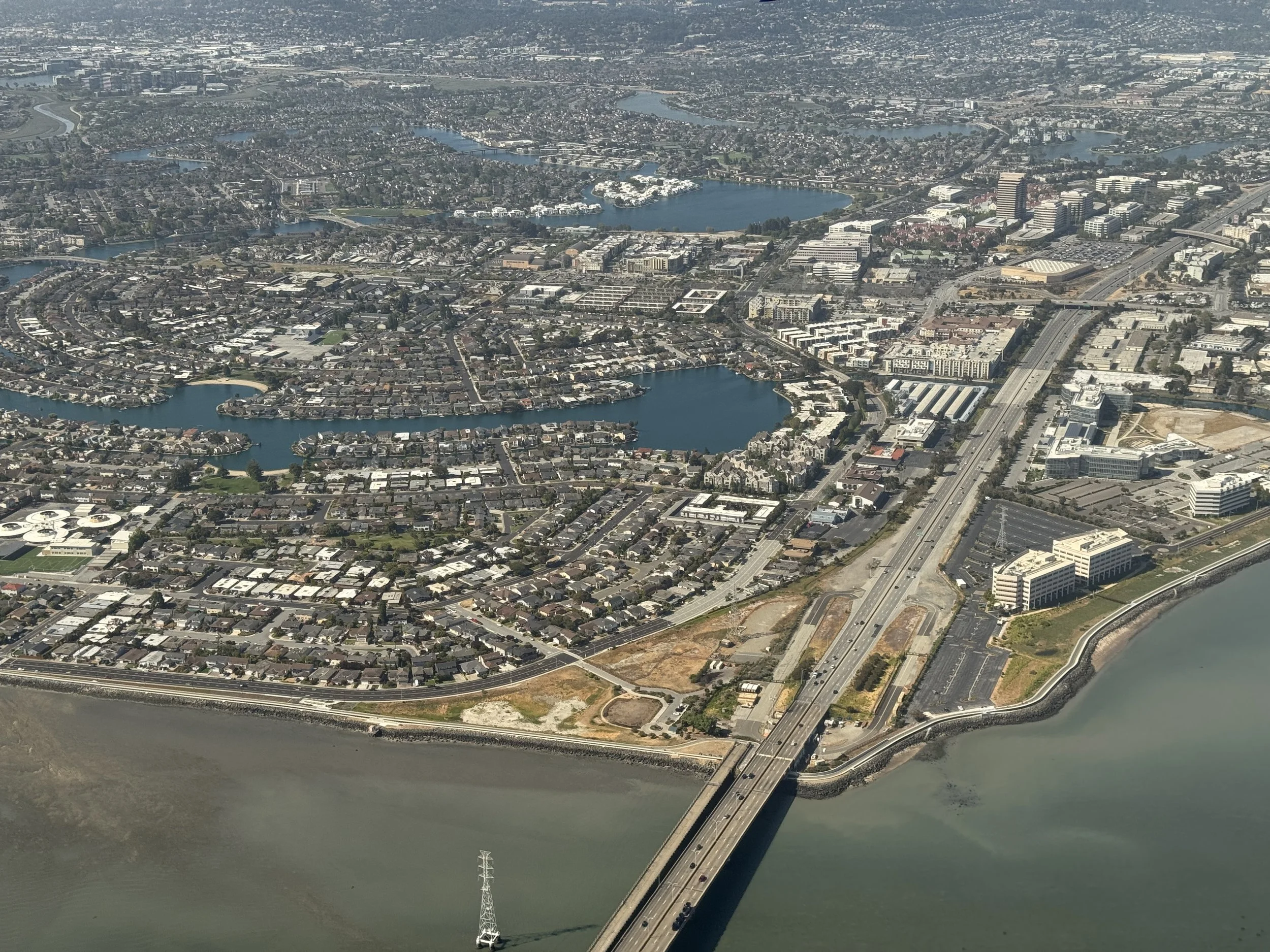
The San Francisco Bay Area is home to one of the most unique planned community-cities in the country - Foster City. Located just 18 miles south of San Francisco, Foster City was first founded in the 1960’s by T Jack Foster and his business partner, Richard Grant. The city was created by building out Brewer’s Island (a marshland island Foster had acquired) using engineered fill.
Due to the low lying elevation of the new city and its proximity to San Francisco bay, an artificial lagoon system was needed for proper drainage. Foster and Grant were clever enough to weave the lagoon system intricately within the city layout, providing a relaxing aquatic environment for residents and businesses alike to enjoy. Along the outer perimeter of the city, a levee was built with dredged bay mud to protect the city from the waters of the bay. The city itself sat at an elevation of 7 feet above sea level. In 1971, Foster City was officially incorporated.
Today over 30,000 people call Foster City home. The city’s residents are well off even by Bay Area standards, with a 2023 median annual household income of $193,633, and a median property value of $1.77M. Major corporate headquarters based in Foster City include Gilead Sciences, Inc., Visa, Inc. and Zoox, Inc.
Trouble in Paradise
Despite a tranquil image of leisurely waterside living (the city seal includes a sailboat by a waterside park), Foster City’s relationship with water is, in reality, much more complex. The subsurface engineered fill, nicknamed “bay mud”, can be challenging to work with in the field. Soil properties and high groundwater tables at high tide can fill construction trenches with water. These characteristics make raising buildings, facilities, or infrastructure infeasible.
In 1984, FEMA issued Flood Insurance Rate Map (FIRM) which changed the presumed level of protection from floods that the city’s levee system provided. The city retained a consultant, Robert H Born, and appealed FEMA’s requirements and methodology. Born’s Report recommended the City use relaxed allowances to determine the protection level required for the city’s levees. Based on Born’s recommendations, in 1995 the City raised the levee system by 18 inches for a cost of $1.3 million (1987 dollars).
In 2014, the US Federal Emergency Management Agency (FEMA) released the Central San Francisco Bay Coastal Flood Hazard Study, which studied tide and wave hazards in the Bay Area. The study determined that 85% of Foster City’s levee system did not meet FEMA’s minimum flood protection requirements (44 CFR 65.10). As a result, FEMA would not be accrediting the city’s levees moving forward, and the City would be designated a Flood Zone (Zone AE). Prior to the study, the City was Zone X - Protected by Levee designation.
The designation of the City as a Flood Zone would require Foster City homeowners to carry flood insurance for their properties. A 2018 City Council presentation projected flood zone insurance costs to be $2,000 to $3,000 minimum annually per household.
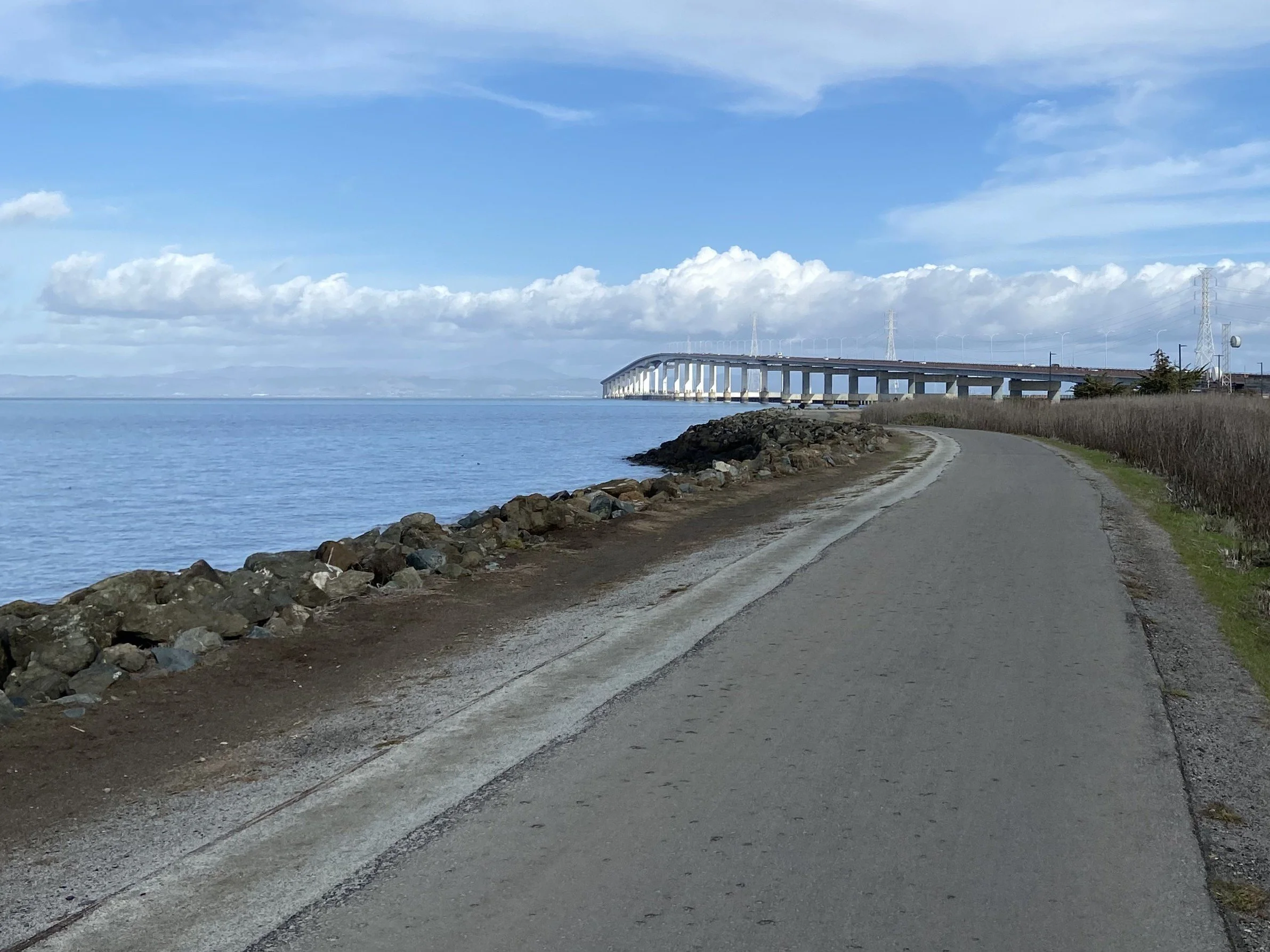
Foster City original Levee and Levee trail, with San Mateo-Hayward bridge in background, December 2020. A 2014 FEMA study identified 85% of the City’s levee as deficient and recommended the City be designated a flood zone AE
Community Efforts for Protection
Seeking an alternative to protect citizens from mandatory flood insurance and retain property values, the City sought to improve its levees to meet FEMA’s requirements. In 2015, the City accepted an indefinite Seclusion Zone designation from FEMA, pending the City’s continuing efforts to improve the levee.
The City Council began studying levee alternatives and evaluating its options. Consultants were retained to examine the issue and the following reports were published:
Levee Protection Planning Study - July 2015
Levee Improvements Basis of Design Overview - October 2016
Draft Environmental Report - Published November 2016
Final Environmental Report - Adopted May 2017
To avoid the mandatory insurance costs, in 2018 City proposed a $90 Million general obligation bond via Measure P, with an average homeowner cost of approximately $272 annually. Measure P required two thirds (66 2/3 %) majority to pass and was passed on June 5, 2018.
March 5, 2018 City Council placed $90 Million Bond Measure P to fund levee improvements. Measure P would levy $40 per $100,000 of property assessed value.
June 5, 2018: Measure P passes with 80.65% in favor
August 2020: City’s $85 million GO Levee Bond issued
August 2023: City’s $5 million GO Levee bond issued
Consultants retained by the City recommended a majority of the levee improvements use a hybrid sheet pile flood wall with a concrete cap. The hybrid sheet pile option negated the need for the City to excavate the existing levee, ensuring the City would retain flood protection during construction. Sheet piles were driven into the ground, and then the city’s beloved levee trail was built up behind the sheet piles using compacted earth and cellular concrete. The levee was raised an average of six feet to protect the City against anticipated 2050 sea levels.
April 30, 2020: Levee improvements engineering design is completed
June 30, 2020: Levee Improvements construction package advertised for bidding
July 20, 2020: City awards contract to Shimmick Construction
September 2020: City provide Notice to Proceed (NTP) to Shimmick Construction
October 14, 2020 City broke ground on Levee Improvements
February 21, 2024: Measure P Levee Improvements officially completed. Final cost $93 Million, fully funded by City (no federal or state funding)
With the levee improvements complete, in February 2024 the City sent LOMR (Letter of Map Revision) to FEMA requesting re-classification of City’s flood hazard designation back to “moderate risk - Zone X protected by Levee”. As of July 2025, this is still pending with FEMA
Shimmick Construction’s crane and pile driver are seen at the Levee Improvements site along Beach Park Blvd in 2021
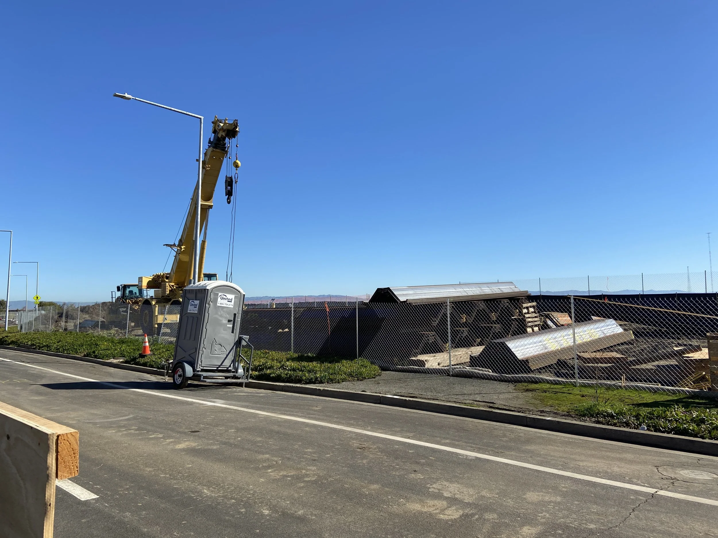
Sheet Piles for the Measure P Levee Improvements staged by Shimmick Construction in 2021
The Calm after the Storm
For now, the city’s flood zone woes appear to be over, assuming FEMA grants the Zone X classification. Massive coordination efforts by the City Council, the community, and the teams employed by the City to improve the levee have been successful.
It’s worth considering that the flood insurance figure of $2,000 to $3,000 per household in 2018 was a market estimate at the time. More likely than not, that insurance would be higher in the present day, and price increases would likely continue into 2050, especially considering the current challenges in the home insurance industry. Thus, an ad valorem levy of $40 based on $100K of assessed property value, which can only increase by 2% under Proposition 13, is a great financial decision by the City.
However, one should also consider if Foster City was not presented with this flood insurance debacle at all. Lower taxes would mean more money in homeowner’s pockets, which should mean a better business environment and stronger economy overall for Foster City. Long term outlook and property values would be protected without hefty investments and consistent local government intervention.
Another way to view this is the opportunity cost City Council borne by the city council due to its $90 million investment in levee improvements. What else could the City have gotten for this sum? The City could have built or modernized parks, schools, or community centers, built some affordable housing, or provided businesses with tax incentives. All of these improvements would increase citizens’ quality of life and increase property values and wellbeing. Instead, the City had to spend its money and time just to maintain the current quality of life and keep additional insurance requirements at bay.
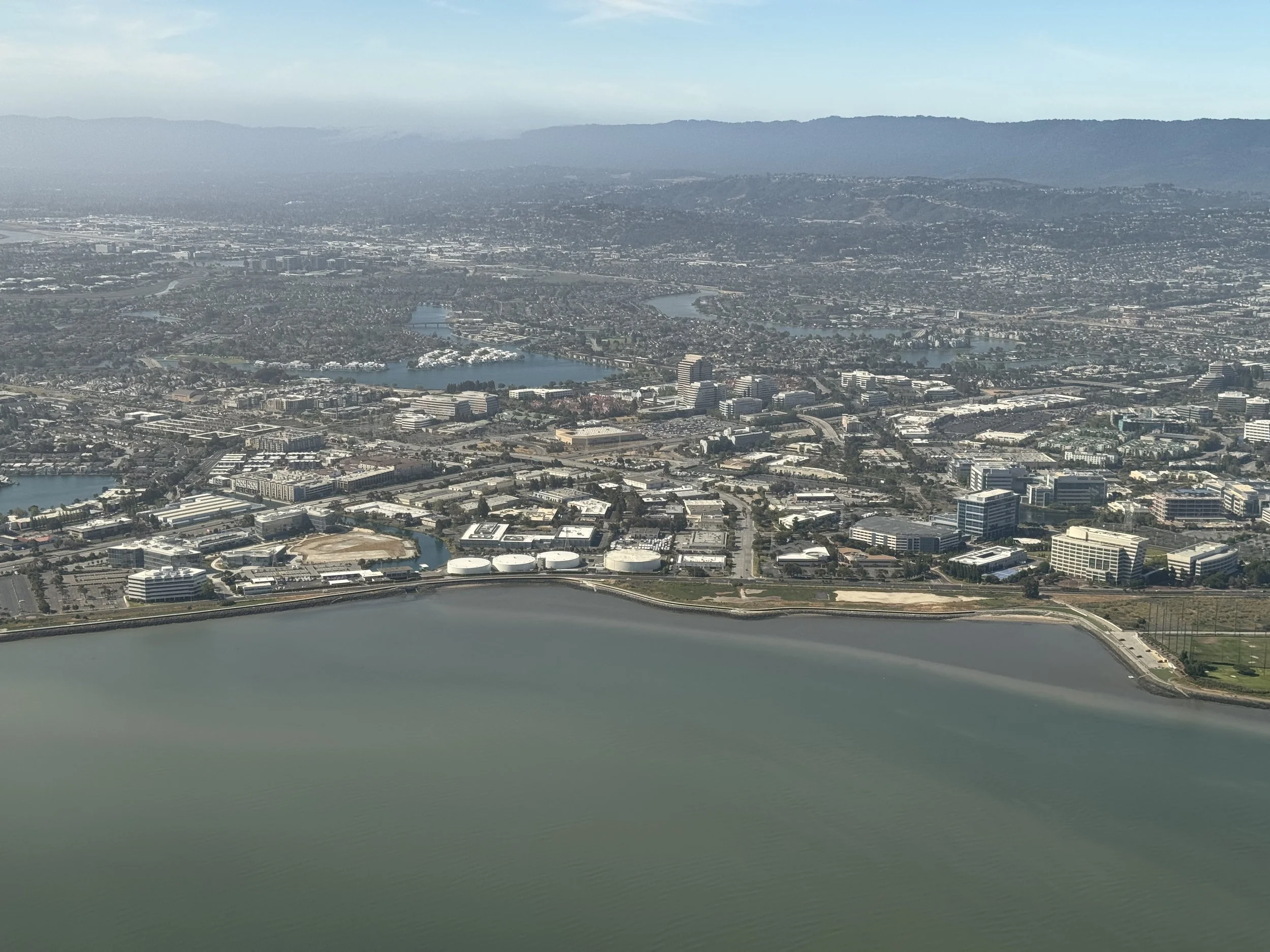
Foster City, June 2025. The headquarters of Visa, Inc. , Zoox Inc. , and Gilead Sciences are all visible, along with Illumina, Inc. campus.
Looking beyond Measure P
In January 2025, NASA published a study titled “Variable Vertical Land Motion and its Impacts on Sea Level Rise Projections”. In this study, NASA identified numerous locations throughout coastal California affected by various factors which may have variable vertical land motion (VLM). The report suggests that previous studies may be understating the seriousness of sea level rise at those locations.
Within the San Francisco Bay Area, four bayside locations were identified which were found to have “steady high-rate subsidence (>10 mm / year)” (>0.4 inches per year). “This indicates that, in some locations, regional estimates largely underestimate future sea level rise by more than a factor of two”. In other words, the city was sinking at a rate faster than previously believed.
Referencing the 2050 timeframe, this subsidence could contribute to over 10 inches (25 x 0.4 inches) of land mass sinking, translating the sea level in 2050 to be 17 inches higher than in 2000. This calls into question the assumed 2050 sea levels used to determine the effectiveness of the levee improvements completed in 2024.
Conclusion
Foster City’s recent tango with FEMA and subsequent self-funded levee project can be considered a local government success story. The city’s property values and quality of life were preserved through a proactive city government, community support, and a qualified team of city staff, consultants, and contractors. The city’s return on investment should be considered at the very least, reasonable
However, larger questions about opportunity cost and the long-term implications of climate change still loom. Despite the best efforts of local governments like Foster City, the forces of a changing climate remain relentless. If sea level rise accelerates as projected, the levee’s effectiveness may expire sooner than expected - triggering yet another costly cycle of upgrades in the city’s ongoing defense.
Insights
-
Stranded Asset Risk, Valuation, and Climate
Tail risks from climate change are increasing for real estate investors
-

Citadel's New Home in South Florida
A billionaire plants roots at the edge of danger in Miami
-
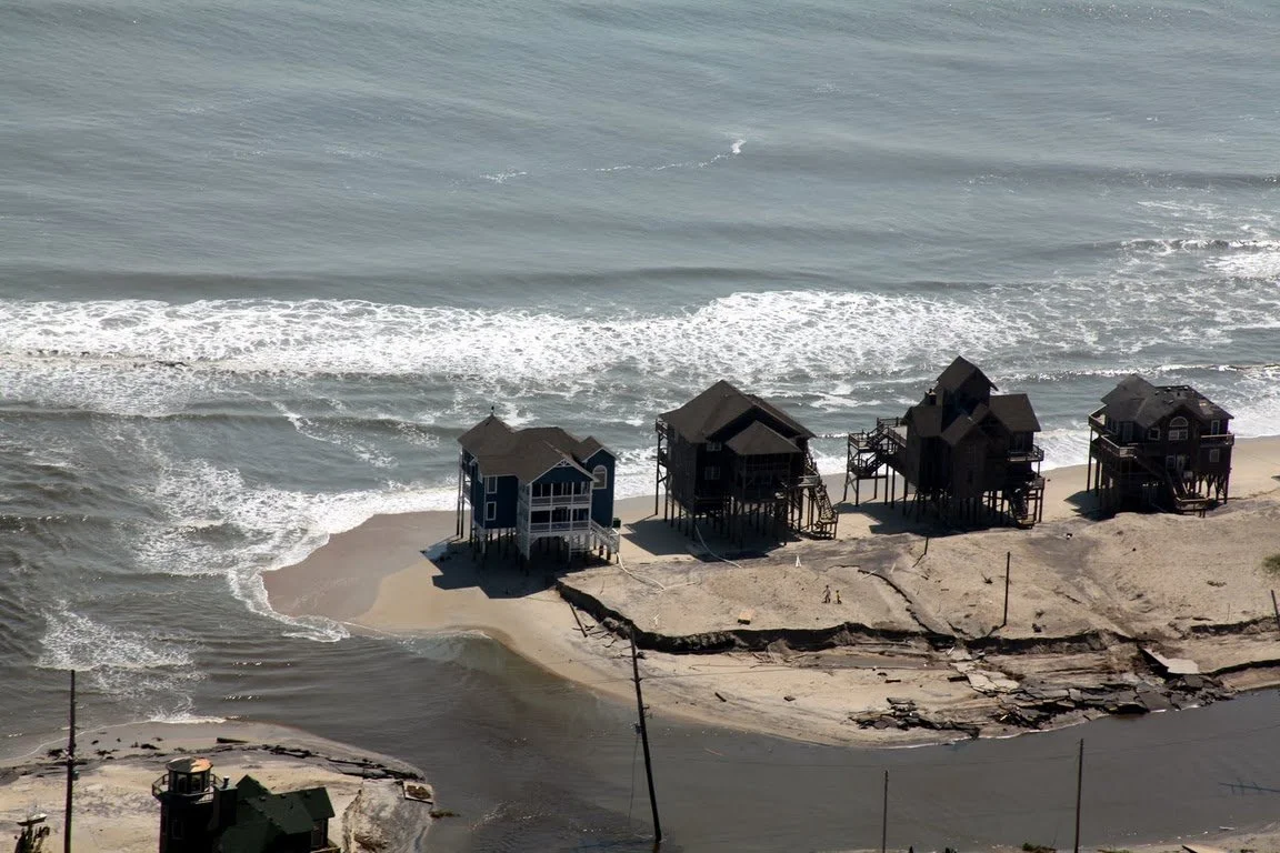
Lessons in Expansion from Texas Hill Country
Recent floods remind us of the dangers of risky growth